west View and northwest
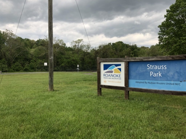
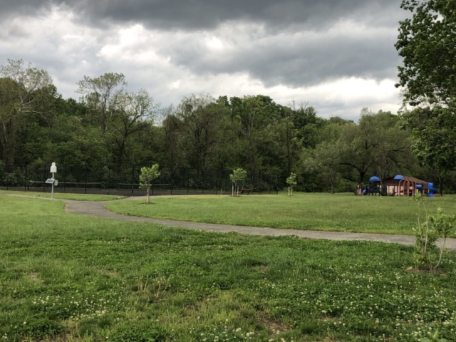
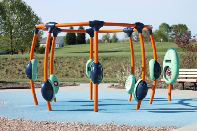
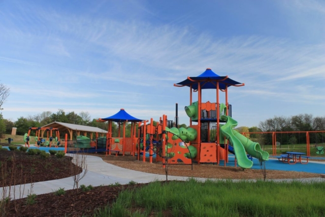
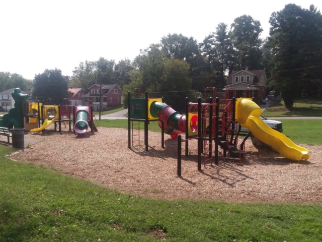
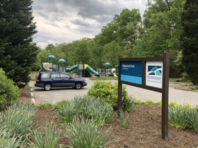
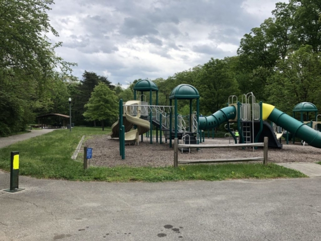
This 10.5-mile route begins and ends at Countryside Park, which boasts a sweet, state-of-the-art playground that includes larger than life wind chimes and other fun musical features. Enjoy biking in neighborhoods you’ve never visited before and visiting out-of-the-way Strauss and Ridgewood parks. This route includes some steep climbs, but with the just reward of some nice views of Fort Lewis Mountain on various parts of the route (the best one coming back down Old Stevens Road after visiting Strauss Park). You’ll also get to visit the Westside athletic fields and try out the bike lanes on Peters Creek Road.
- 3 Parks: Countryside, Strauss, Ridgewood
10.5 miles
674 feet elevation gain
Travel time: 1-1.5 hours
Rating: Moderately difficult
Best for riders with comfort riding around cars. Mostly light to moderate traffic roads, with a stretch on 4 lane road with bike lanes, and one short section on Lick Run Greenway.
