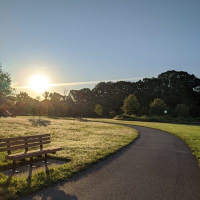
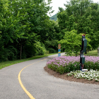
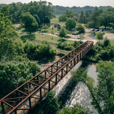
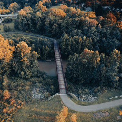
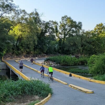
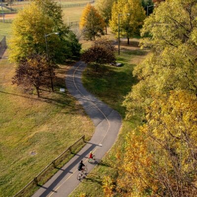
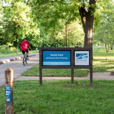
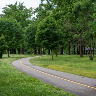
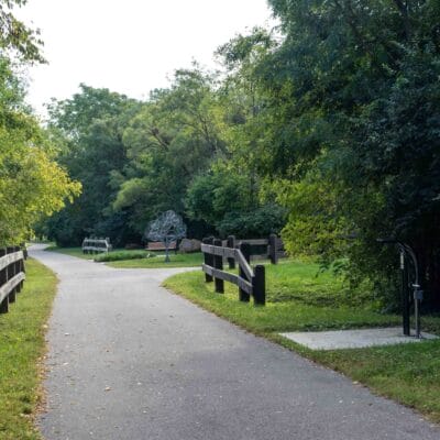
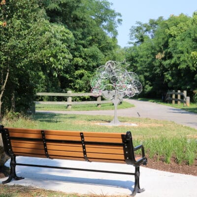
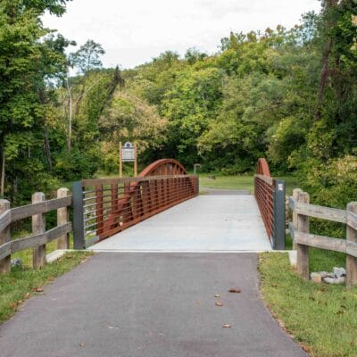
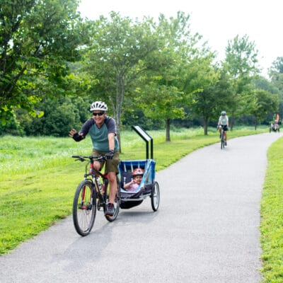
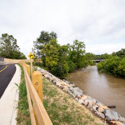
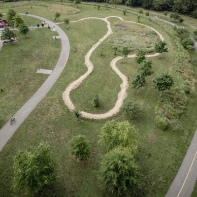
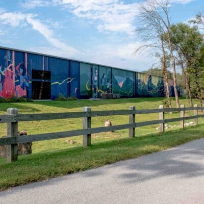
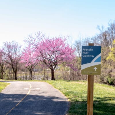
The Roanoke River Greenway is the main artery of the Roanoke Valley Greenway System, offering over ten miles of paved trail within the City of Roanoke
Roanoke River Greenway Sections
The Roanoke River Greenway is the region’s signature project, the backbone of the greenway network following the river from west to east through the valley. This Greenway has two sections as it follows:
Roanoke River Greenway (Bridge Street to River’s Edge)
Roanoke River Greenway (River’s Edge to 13th Street)
The Roanoke River Greenway between Bennington Trailhead and Underhill Road is currently located along the roadway. This section is under design and awaiting full funding. This section will complete the Roanoke River Greenway in the City of Roanoke, running from the City of Salem line to the Roanoke County line.
Trailheads
The following trailheads are located along Roanoke River Greenway between Bridge Street and Bennington.
